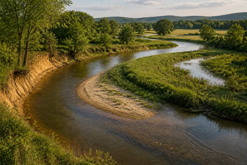
Where One Region Gives Way to Another
Where one region gives way to another is often a broad transition, not a line. Learn to compare recurring landscape and settlement clues without forcing a border.
The common mistake when asking where one region gives way to another is to nominate the first striking landmark as a border. That can cost you the broader pattern: a bridge or sudden patch of woodland may be memorable, while the regional transition unfolds gradually across several neighbouring places.
To recognise that transition, compare how land, vegetation and settlements change together. The aim is not to find a single correct line, but to describe where the character shifts, which clues recur and which features continue across the change.
Compare neighbouring places rather than reading a route as a border
Choose a group of accessible places that sit on either side of a suspected transition. A village on an upland edge, a nearby market town and a settlement on lower ground may offer more useful comparisons than a fast drive along one main road. The focus is the relationship between places, not the route’s bends, crossings or surface.
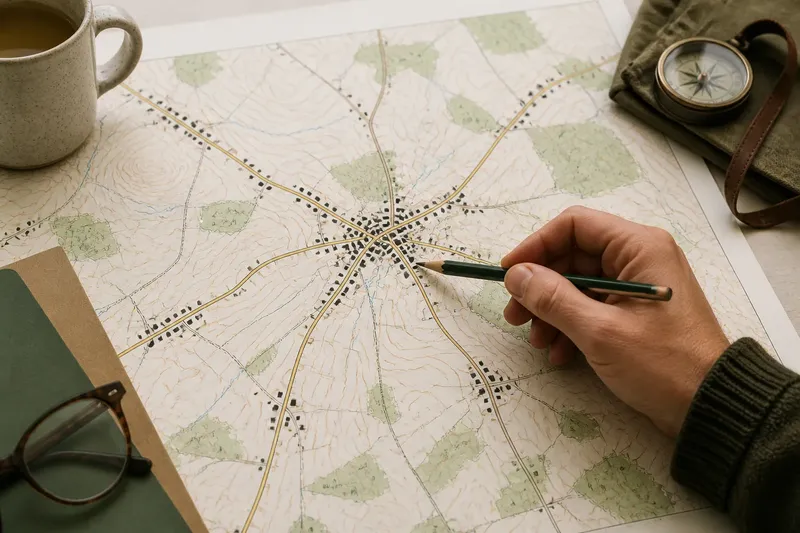
Use a place-name gazetteer, local history pages, parish descriptions or a regional landscape character map to identify places for comparison. These sources provide context and possible clues; they do not settle where a region ends. Keep your observations tied to public viewpoints and respect access rules.
Describe each place in the same terms
At each stop, record what is visible and how the settlement sits in its surroundings. Use the same headings each time so that a difference is easier to recognise than it would be in a string of free-form impressions.
- Land: note whether the place sits on a ridge, in a valley, on a slope or across flatter ground. If the same landform recurs in nearby places, treat it as a shared clue; if it appears only once, keep it as a local feature.
- Vegetation and fields: observe hedges, woodland, open ground and the shape of cultivated fields. If several neighbouring places share a pattern, consider it part of the transition; if only one does, look for a local explanation.
- Buildings: note visible wall materials, roof forms and how buildings cluster or spread. If a pattern appears in more than one settlement, compare it with the landscape; if it is confined to one street or recent development, do not extend it to the whole region.
- Settlement form: record whether homes gather around a centre, follow a main street or stand apart. If this arrangement recurs across nearby places, treat it as a regional clue; if it varies sharply, describe the variation rather than forcing a shared pattern.
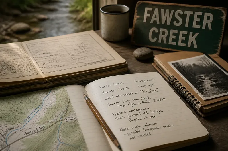
- Local names and identity: record names that recur in signs, local histories or community descriptions. If they suggest a recognised local identity, note that as cultural evidence; if names are mixed or change over short distances, avoid treating a single label as a boundary.
- Exceptions: write down features that do not fit the emerging pattern, such as an isolated plantation or an unusually dense cluster of buildings. If the feature is unique, retain it as an exception; if it recurs, reconsider your description of the transition.
Plain descriptions are more useful than broad labels. “Houses cluster along a valley road, with hedged fields on the lower slopes” gives you something to compare; “southern character” does not.
Give more weight to repeated clues than to striking exceptions
A single stone-built cottage, wooded slope or unusual place name can catch the eye without representing the wider area. Look for combinations: perhaps several settlements share open fields and scattered homes, while the neighbouring group has steeper ground and a more compact pattern.
Do not count every clue as equally strong. A feature repeated in several places and supported by other observations is more useful than an isolated detail. If buildings suggest one character while land and vegetation suggest another, record the disagreement rather than smoothing it away.
Work through a comparison without declaring a false border
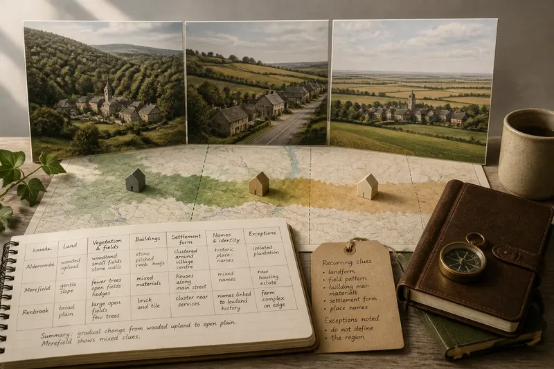
Say you are comparing three invented places: Aldercombe on wooded upland, Merefield on a gentler slope and Fenbrook on a broad plain. At Aldercombe, your notes record narrow valleys, stone walls and homes grouped near a village centre. At Merefield, you note fewer wooded slopes, more open fields and houses spread along the settlement’s main street.
Next, you compare Fenbrook and find flatter ground, larger open fields and a cluster of homes near local services. You check the same headings across all three places, then decide that the landscape and settlement pattern change gradually from Aldercombe through Merefield to Fenbrook. The resulting description is a transition zone, with Merefield showing mixed clues—not a claim that the edge lies at one road junction.
What evidence helps separate a transition from an exception?
Does one unusual building mark a regional edge?
Not by itself. Compare its materials and setting with buildings in neighbouring settlements; if the feature does not recur, describe it as local rather than regional.
How should mixed clues be described?
Name which features change and which continue. A shift in landform alongside a persistent building style is a meaningful mixed pattern, not a reason to force every clue into one border.
Can local names settle where a region ends?
Names can reveal local identity and historical associations, but they may overlap or change gradually. Treat them as one kind of evidence alongside settlement form and landscape, not as a boundary on their own.
What is not worth the effort?
Trying to make every settlement fit one neat regional category adds false precision. Keep the exceptions in your notes and describe the transition in terms of the patterns that actually recur.
Describe the transition so another reader can follow it
Set your notes alongside a simple list of the places compared, in geographical order. State where a clue first appears, where it becomes more common and which features persist across the change. If the evidence varies from one side of a valley to the other, say so instead of presenting a smooth, uniform edge.
Where one region gives way to another, a clear account names the sequence of changes and acknowledges overlap. Identifiable places and observable details let another reader understand your reasoning, while a carefully described transition is often more faithful to the landscape than a confident line on a map.