Clustered Village or Scattered Homes: Reading a Settlement Map
Learn to read clustered and scattered homes on a settlement map by comparing spacing, roads and nearby land without mistaking a pattern for its cause.
The common mistake when reading a settlement map is to treat a tight knot of buildings as a village and a spread of symbols as proof that people live in isolation. That shortcut can hide the real pattern: how homes relate to one another, to shared places and to the land around them. A settlement map is more useful when you read those relationships before naming what caused them.
Read the pattern in five useful passes
1. Find the clusters before deciding what they mean
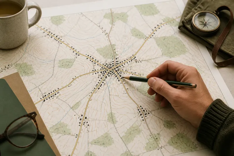
Start by looking for groups of building symbols with noticeably shorter gaps between them than the gaps elsewhere on the map. A compact group may contain a village centre, a hamlet or simply several nearby homes. Its shape matters: a knot around a junction differs from a line of buildings following a lane, even if both look dense at first glance.
Use the map’s scale and legend to judge spacing rather than relying on the apparent size of symbols. On a small-scale regional map, marks may overlap or omit individual buildings; on a detailed local map, the pattern may become clearer. Treat the printed symbols as a representation, not a complete inventory of every dwelling.
2. Compare the gaps between homes
Clustered settlement has a concentration of homes and relatively open space beyond it. In a dispersed pattern, individual homes or small groups are separated by wider stretches of fields, woodland or other land. The distinction is relative: a handful of houses along a road may be more spread out than a nearby village, yet still form a recognisable group.
Look for changes in spacing across the map. A dense centre thinning into outlying farms may be a gradual transition, not a clean divide between two kinds of settlement. Marking that shift with your eye can be more informative than forcing the whole area into one label.
3. Trace roads without mistaking them for the whole story
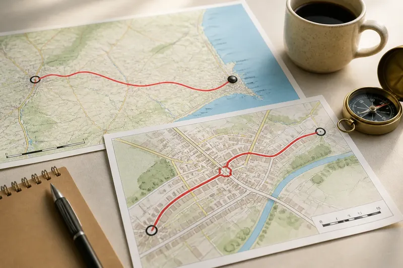
Roads often make settlement patterns legible. Homes may gather at a crossroads, extend along a main street or appear at intervals beside a rural lane. A linear pattern can look dispersed when viewed across a wide area, even though its buildings are closely linked along the road.
Notice which roads connect a cluster to other places and which seem to serve individual properties or farms. The map may show a village street feeding into a larger route, while a scattered pattern has several long lanes branching through open land. Neither arrangement alone explains why homes are there: roads can connect existing places as well as shape where later building occurs.
4. Set buildings beside the landforms and land use
Read the settlement symbols alongside contours, streams, woodland edges and field boundaries. A cluster may sit on a gentler patch of ground, beside a crossing or near a shared open space; dispersed homes may occupy separate plots among fields. These are clues to a relationship with the landscape, not automatic explanations of it.
Pay attention to what is absent as well as what is present. A gap in buildings might coincide with steep ground, wet land or woodland, but the map cannot tell you whether that feature is the reason. It may reflect land ownership, planning choices, changing livelihoods or details the map does not record.
5. Notice shared places and the limits of the map
A church, school, shop, station or community hall can help identify a settlement centre, particularly when several roads and building symbols converge nearby. But a marked facility does not establish how many people use it, whether it is open or what local residents call the place. Symbols show selected features, not the full social life of a settlement.
Check the map’s date, legend and scale before drawing conclusions. A newer map may show housing beyond an older village edge; a map designed for tourism may omit ordinary homes while highlighting landmarks. If an answer depends on current access, a property boundary or an official place name, consult the relevant local authority or map provider.
What does a settlement map actually tell you?
How can I tell a clustered village from a dispersed settlement?
Compare the distance between buildings within a group with the open spaces separating that group from its neighbours. A clustered village usually has a recognisable concentration, while a dispersed settlement has homes or small groups spread across a broader area; look for transitions rather than a sharp boundary.
Does a row of houses along a road count as clustered?
It can form a linear settlement, with buildings close to one another along the route but spread out across the surrounding landscape. Describe the shape as well as the spacing, rather than treating “clustered” and “scattered” as the only options.
Can the map explain why homes are in a particular place?
It can show nearby features that may matter, such as a road junction, level ground, a stream or a field pattern. It cannot establish cause by itself, so treat those features as context and avoid turning a plausible connection into a settled explanation.
Why do different maps show different settlement patterns?
Maps vary in scale, purpose, date and the features their makers choose to include. A regional map may simplify a small group into one symbol, while a detailed map displays separate buildings and lanes.
Use a cautious description instead of a firm label
Imagine a map showing a close group of houses at a crossroads, then smaller clusters along two lanes, with farms between them. A useful description would be: “The area has a compact centre with more dispersed homes along the surrounding lanes.” That wording records the visible pattern without claiming the crossroads, terrain or farming caused it.
It is not worth measuring every gap between symbols or searching for a single boundary that divides village from countryside. Those efforts can suggest a precision the map does not support. Instead, note the main concentration, the direction in which buildings spread and any clear relationship to roads or landforms.
When you read a clustered or scattered settlement map, keep the description close to what is visible and separate observation from explanation. That small distinction makes the map easier to compare with another edition, a local place-name sign or a view on the ground—and leaves room for the landscape’s less obvious history.